
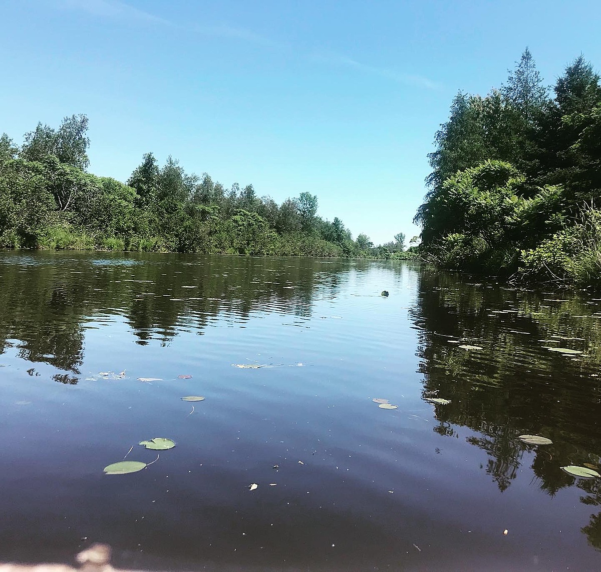
St Lawrence River
Ontario, Canada
Man-made canal system within the Charlottenburgh Marsh. Shallow, slow moving system.

Location created by
Emilie DeRochie
- Group: River Institute : Upper St. Lawrence River Volunteer Monitoring
- Lat: 45.1092007
- Lng: -74.5144486
- Waterbody Type: River
- Timezone: America/Toronto
Latest photos


Observations summary


Observation tests summary
Air temperature
°C
27.0
Latest
21.1
Average
Water temperature
°C
27.4
Latest
19.8
Average
Alkalinity
mg/L
120
Latest
128
Average
Hardness
mg/L
100
Latest
106
Average
Dissolved oxygen
mg/L
8.0
Latest
7.6
Average
Chlorine
ppm
0.0
Latest
0.0
Average
Conductivity
μS/cm
360
Latest
421
Average
Secchi depth
m
1.1
Latest
0.6
Average
pH (0-14)
7.2
Latest
7.4
Average
Water depth
m
1.2
Latest
0.8
Average
Ice On
Ice Off
- 2022-10-30
- 2022-08-29