
Benson Creek
Ontario, Canada
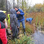
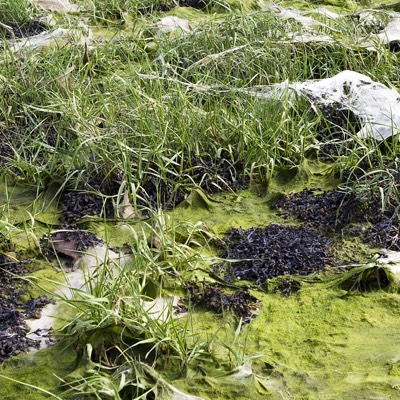
Test on west side of Hwy 624 at culvert where water from Benson Creek enters under the roadway then flows into Larder Lake.
Location created by
Don Ross
- Group: County Sustainability Group
- Lat: 48.0496854
- Lng: -79.7037506
- Waterbody Type: Creek
- Timezone: America/Toronto
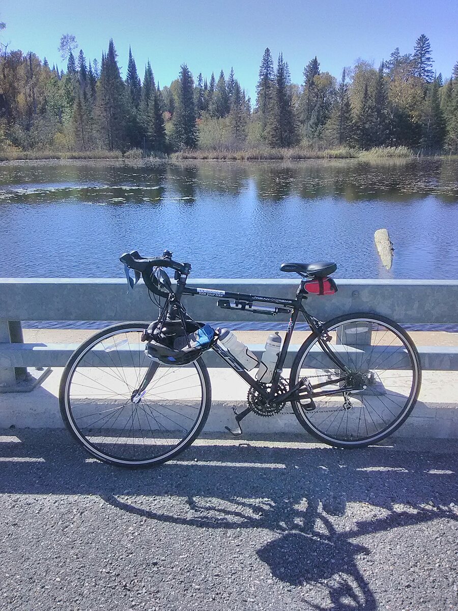
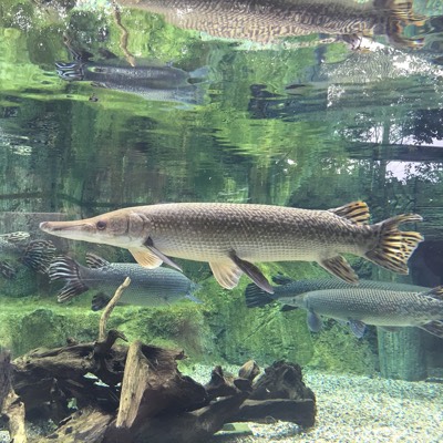
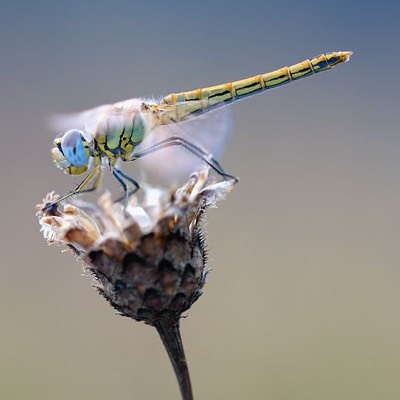
Latest photos


Observations summary

Observation tests summary
Air temperature
°C
18.0
Latest
17.7
Average
Water temperature
°C
16.6
Latest
15.6
Average
Alkalinity
mg/L
100
Latest
50
Average
Hardness
mg/L
150
Latest
58
Average
Dissolved oxygen
mg/L
7.0
Latest
5.7
Average
Conductivity
μS/cm
123
Latest
95
Average
Secchi depth
m
0.0
Latest
0.4
Average
Water depth
m
0.9
Latest
1.0
Average
pH (0-14)
7.0
Latest
6.7
Average
Chlorine
ppm
0.5
Latest
0.5
Average
Ice On
- 2024-11-29
- 2023-12-01
- 2022-12-02
- 2021-12-11
Ice Off
- 2025-05-09
- 2023-05-02
- 2022-04-20