McVeigh Creek
Ontario, Canada
MC = McVeigh Creek
B4 = Before
MWWC = Merging With Wyndsor Creek
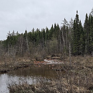
This location is in a wetland that easily traversed.
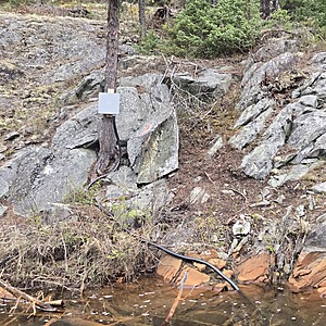
The creek is flowing along steep outcrop along the wetland.
There is a hydrometric station on the steep outcrop which is evidence of Alamos Gold's Environmental Department.
Plenty of orange staining along the creek.
This location aims to compare the water qualities with Wyndsor Creek and helps to determine dilution rates and the distance of impact.

- Group: Missanabie Cree First Nation : Dog Lake Head Waters Monitoring Program
- Site ID: MC-B4-MWWC
- Lat: 48.2683518
- Lng: -84.5265985
- Waterbody Type: Creek
- Timezone: America/Toronto
Latest photos
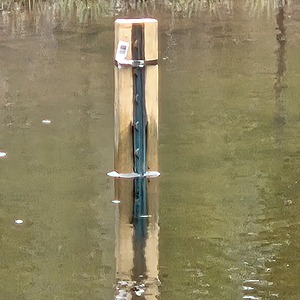
View all photosCreek is flowing in a wetland along a steep embankment of outcrop, which is stained orange at the water level and below. Orange staining along the entire creek. Water is flowing. I have approached the testing location from the wetland side. Across the creek at my exact location is a hydrometric station on the outcrop, evidence of Alamos Gold's Environmental Department's work and the importance of this location. There is also a staff gage in the creek.


