McVeigh Creek
Ontario, Canada
MC = McVeigh Creek
B4 = Before
MWWC = Merging With Wyndsor Creek
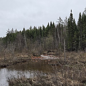
This location is in a wetland that easily traversed.
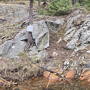
The creek is flowing along steep outcrop along the wetland.
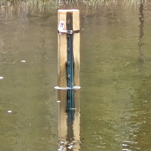
There is a hydrometric station on the steep outcrop which is evidence of Alamos Gold's Environmental Department.
Plenty of orange staining along the creek.
This location aims to compare the water qualities with Wyndsor Creek and helps to determine dilution rates and the distance of impact.

Location created by
Ty Hourtovenko
- Group: Missanabie Cree First Nation : Dog Lake Head Waters Monitoring Program
- Site ID: MC-B4-MWWC
- Lat: 48.2683518
- Lng: -84.5265985
- Waterbody Type: Creek
- Timezone: America/Toronto
Latest photos
View all photosThere are currently no issues at this location.


