Deer River
Theodore, Alabama, United States
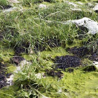
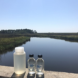
Where Dauphin Island Parkway bridge crosses the South fork of Deer River. Samples taken while standing on Dauphin Island Parkway bridge. Flowing water. Collecting bacteriologic samples could potentially be dangerous due to unstable rocks that are coated in algae.

Location created by
Madison Blanchard
- Group: Alabama Water Watch
- Site ID: AWW06022001
- Lat: 30.5179807
- Lng: -88.10709
- Waterbody Type: River
- Timezone: America/Chicago
Latest photos
Issues Summary
Observations summary
Observation tests summary
Salinity
ppt
3.0
Latest
6.2
Average
Air temperature
°C
26.0
Latest
24.3
Average
Water temperature
°C
23.5
Latest
21.7
Average
Alkalinity
mg/L
55
Latest
62
Average
Dissolved oxygen
mg/L
7.0
Latest
5.6
Average
Turbidity
JTU
10
Latest
8
Average
pH (0-14)
7.5
Latest
7.0
Average
Hardness
mg/L
10
Latest
192
Average
Total coliform
ppm
3167
Latest
1775
Average
Incubation temperature
°C
30.0
Latest
32.6
Average
E.coli
cfu per 100mL
533
Latest
139
Average
Incubation time
(hours)
45.0
Latest
44.0
Average

