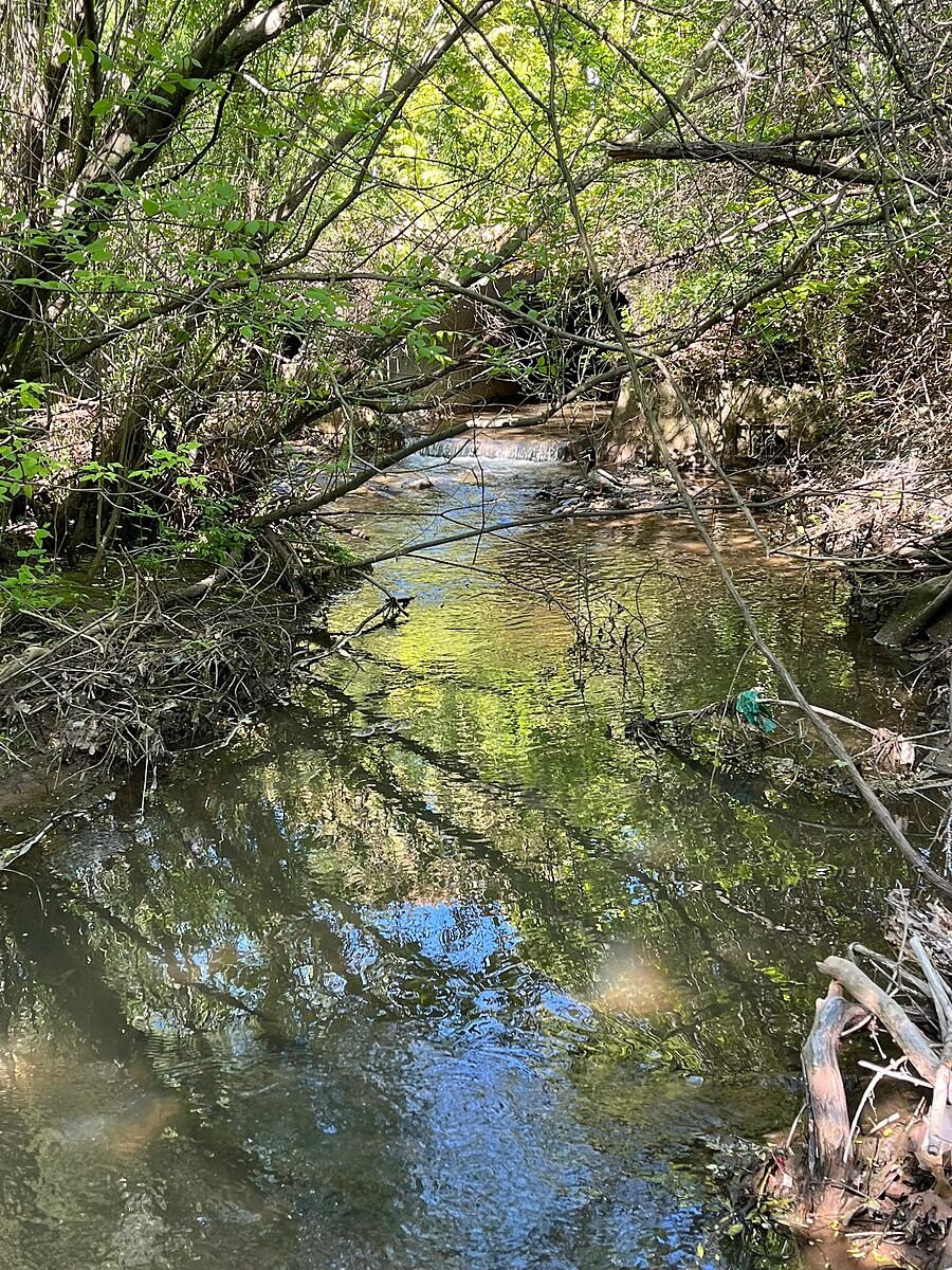
Indian Creek
Burlington, Ontario, Canada
Before the confluence with the Upper Hager Creek

Location created by
Kat Kavanagh
- Group: Water Rangers : Lake Erie Rangers
- Lat: 43.3191204
- Lng: -79.8160815
- Waterbody Type: Creek
- Timezone: America/Toronto
Latest photos


Indian Creek : @ Greenwood drive pedestrian bridge
Observed on
2025-05-25
Creek water flow coming in from man-made structure. Substrate started from the concrete inflo...
Indian Creek : @ Greenwood drive pedestrian bridge
Observed on
2024-10-29
Quite brown and some bubbles