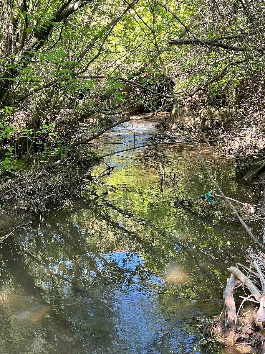
Indian Creek
Burlington, Ontario, Canada
Before the confluence with the Upper Hager Creek

Location created by
Kat Kavanagh
- Group: Water Rangers : Lake Erie Rangers
- Lat: 43.3191204
- Lng: -79.8160815
- Waterbody Type: Creek
- Timezone: America/Toronto
Latest photos


Creek water flow coming in from man-made structure.
Substrate started from the concrete inflow, to high sedimentation, finished by large rock toward the curve edge of the stream.
Bridge going over creek, with high riparian canopy (fully covered by tree).
The area has some litter - and was cleaned at the best ability
Some species of birds were observed (blue jay and ducks) as well as some insects.
Quite brown and some bubbles