Wagg Creek west branch emerges - WAG-W-03 High Priority
North Vancouver, British Columbia, Canada
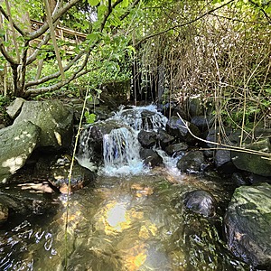
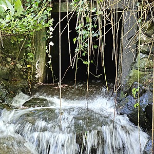
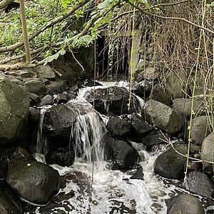
location of WAG-W-03 using zoom on web app. West of Chesterfield and south of 23rd St. the west branch of Wagg Creek emerges from a 1.3 x 1.3 poured concrete box culvert. This is where the creek first surfaces south of Highway #1. This is a high energy, high flow site. Field measured GPS coordinates in NAD83 are -123.0754710, 49.32972203 in Long and Lat, or UTM 494516E, 5,464,113N

- Site ID: WAG-W-03
- Lat: 49.3296111
- Lng: -123.0754995
- Waterbody Type: Unknown
- Timezone: America/Vancouver
Latest photos
View all photosTurbidity < 14 NTU.
BV lab water and ALS Global 6PPD and 6PPD-Q samples collected simultaneously with WR data
Tier 1 and Tier 2 lab samples taken for BV.
Turbidity <14. Lab water sample for BV collected simultaneously.
Turbid water, but in darkness the Secchi Tube could not be used. 6PPD-Q and lab water sample for BV collected simultaneously
Turbidity <14. Very low flow.
Turb <14
No flows done
Turbidity <14
Turbidity <14
Headed upstream from the pond in search of source of black water. Perceived some darkness in the deeper pools at W03, with some foaming, but testing results unremarkable and no smell noted
Turbidity <14


