Wagg Creek west branch emerges - WAG-W-03 High Priority
North Vancouver, British Columbia, Canada
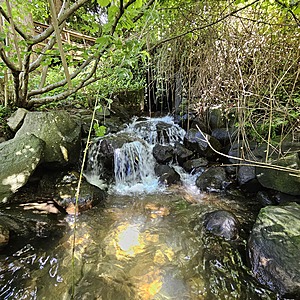
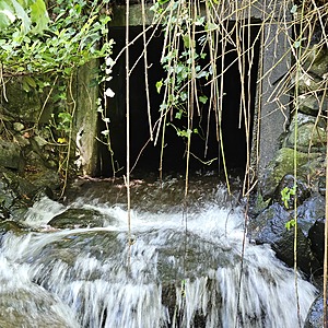
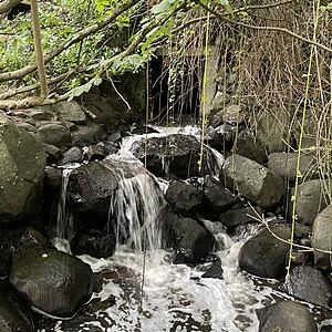
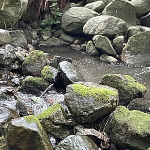
location of WAG-W-03 using zoom on web app. West of Chesterfield and south of 23rd St. the west branch of Wagg Creek emerges from a 1.3 x 1.3 poured concrete box culvert. This is where the creek first surfaces south of Highway #1. This is a high energy, high flow site. Field measured GPS coordinates in NAD83 are -123.0754710, 49.32972203 in Long and Lat, or UTM 494516E, 5,464,113N

Location created by
Paul Lhotka
- Site ID: WAG-W-03
- Lat: 49.3296111
- Lng: -123.0754995
- Waterbody Type: Unknown
- Timezone: America/Vancouver
Latest photos
View all photosObservations summary
Observation tests summary
Water temperature
°C
16.1
Latest
12.9
Average
Alkalinity
mg/L
30
Latest
39
Average
Hardness
mg/L
0
Latest
12
Average
Chlorine
ppm
0.0
Latest
0.0
Average
Conductivity
μS/cm
262
Latest
228
Average
Water depth
m
0.2
Latest
0.3
Average
pH (0-14)
7.7
Latest
7.1
Average
Air temperature
°C
17.9
Latest
13.7
Average
Turbidity
NTU
14.0
Latest
16.6
Average
Dissolved oxygen
mg/L
9.0
Latest
9.0
Average
Ice On
Ice Off
- 2022-10-10
- 2022-09-05


