St. Lawrence River
Gananoque, Ontario, Canada
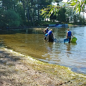
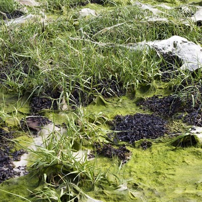
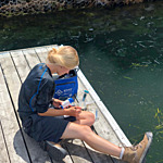
Sheltered bay with a sandy/rocky bottom, next to a main rd and maintained lawns. The river flows into the bay and the waves erode the shoreline. There are some fallen trees.
Location created by
Emma Ehrenfeld
- Group: River Institute : Community-based Water Monitoring
- Lat: 44.3354027
- Lng: -76.1256194
- Waterbody Type: Bay
- Timezone: America/Toronto
Latest photos
View all photosObservations summary
Observation tests summary
Air temperature
°C
23.0
Latest
24.5
Average
Water temperature
°C
17.0
Latest
21.0
Average
Alkalinity
mg/L
80
Latest
100
Average
Hardness
mg/L
0
Latest
50
Average
Nitrates
mg/L
0.1
Latest
0.1
Average
Dissolved oxygen
mg/L
6.0
Latest
5.5
Average
Conductivity
μS/cm
288
Latest
389
Average
Secchi depth
m
0.0
Latest
0.0
Average
Water depth
m
1.0
Latest
1.0
Average
Turbidity
NTU
0.9
Latest
0.9
Average
pH (0-14)
7.0
Latest
7.1
Average
Chlorine
ppm
0.0
Latest
0.0
Average

