McVeigh Creek Before merging with Wyndsor Creek : McVeigh Creek
Ontario, Canada

Observed by
Ty Hourtovenko
- Observed on: Sun, 18 May 2025 16:00:00 -0400
-
Associated with:
Missanabie Cree First Nation : Dog Lake Head Waters Monitoring Program - Lat: 48.2683518
- Lng: -84.5265985
Observation report
See trends at this locationWater quality tests
Pending Quality Check from Water Rangers What's this?
pH (0-14)
What's this?
6.7
Dissolved oxygen mg/L
What's this?
9.0
Secchi depth m
What's this?
bottom visible
Chlorine ppm
What's this?
0.0
Hardness mg/L
What's this?
0.0
Alkalinity mg/L
What's this?
15.0
Water depth m
What's this?
0.25
Conductivity μS/cm
What's this?
344.0
Air temperature °C
What's this?
4.0
Water temperature °C
What's this?
9.7
Weather
Current weather What's this?
Weather in previous 24 hours What's this?
Latest photos
Notes
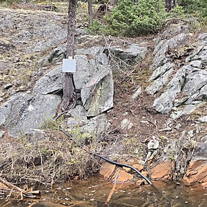
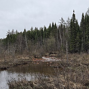
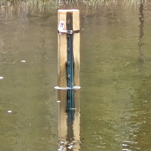
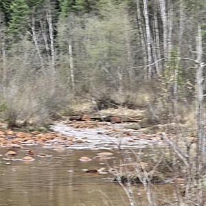
Creek is flowing in a wetland along a steep embankment of outcrop, which is stained orange at the water level and below. Orange staining along the entire creek. Water is flowing. I have approached the testing location from the wetland side. Across the creek at my exact location is a hydrometric station on the outcrop, evidence of Alamos Gold's Environmental Department's work and the importance of this location. There is also a staff gage in the creek.


