pH (0-14)
What's this?
7.3
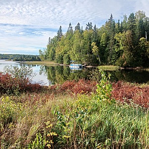
Hawk Lake boat launch (HL-WM-D) : Hawk Lake
Ontario, Canada

Observed by
Ty Hourtovenko
- Observed on: Wed, 25 Sep 2024 09:30:00 +0000
-
Associated with:
Missanabie Cree First Nation : Dog Lake Head Waters Monitoring Program - Lat: 48.080144
- Lng: -84.5518761
Observation report
See trends at this locationWater quality tests
Pending Quality Check from Water Rangers What's this?
Dissolved oxygen mg/L
What's this?
8.0
Secchi depth m
What's this?
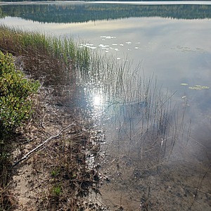
bottom visible
Chlorine ppm
What's this?
0.0
Hardness mg/L
What's this?
0.0
Alkalinity mg/L
What's this?
95.0
Water depth m
What's this?
0.25
Conductivity μS/cm
What's this?
117.0
Air temperature °C
What's this?
14.0
Water temperature °C
What's this?
16.6
Total dissolved solids ppm
What's this?
58.0
Wildlife

Bird
What's this?
Weather
Current weather What's this?
Weather in previous 24 hours What's this?
Latest photos
Notes
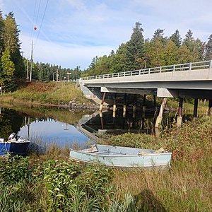
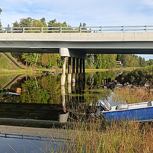
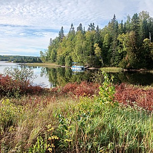
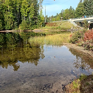
This testing location is at the intersection of McVeigh Creek and Hawk Lake. McVeigh Creek is the headwater of Hawk Lake, which is affected by historic iron mines to the north. Alamos Gold's Island Gold District Mine is now present on the shores of McVeigh Creek and has obligations for remediation of the historic iron mines which has had an effect on the quality of water downstream.

