Rials Creek
Mendenhall, Mississippi, United States
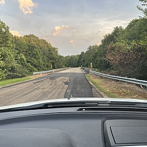
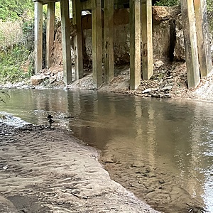
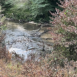
Rials Creek flows east to west across Simpson County, MS and into the Strong River. Merit WP park and falls are located on Rials Creek. Test site coordinates are 31.91302 N and 89.87832W. Take Simpson Hwy 13 south from Mendenhall, turn left on Peacock Rd, then right onto S Main St. Go .6 mi south to the concrete bridge. Access creek from the left or northeast side of the bridge. Street Address: 1096 S Main St, Mendenhall, MS 39114.

Location created by
Karen Felder
- Group: Mississippi State University : Mississippi Water Stewards
- Lat: 31.9137747
- Lng: -89.8782952
- Waterbody Type: Creek
- Timezone: America/Chicago
Latest photos
View all photosObservation tests summary
Air temperature
°C
31.0
Latest
31.0
Average
Water temperature
°C
28.0
Latest
28.0
Average
Total coliform
cfu per 100mL
21100
Latest
21100
Average
Incubation temperature
°C
31.0
Latest
31.0
Average
E.coli
cfu per 100mL
300
Latest
300
Average
Other coliform
cfu per 100mL
20800
Latest
20800
Average
Incubation time
(hours)
41.0
Latest
41.0
Average


