Strong River
D Lo, Mississippi, United States
Kelly Greer Cove is located along the confluence of Sellers Creek and the Strong River in Mendenhall, MS. The cove lies upstream from D'Lo Water Park, a popular recreation site. The Strong River begins in the Bienville National Forest near Morton, MS and flows east to southwest past Pucket and Mendenhall before joining the Pearl River. Coordinates: 31.98056, -89.89291.

- Group: Mississippi State University : Mississippi Water Stewards
- Site ID: Strong River: Kelly Greer Cove
- Lat: 31.9815976
- Lng: -89.8934627
- Waterbody Type: River
- Timezone: America/Chicago
Latest photos
View all photosHeat advisory
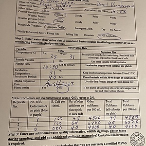
D'Lo Water Park, located just downstream of this site, had low gauge of 3.0 ft. and streamflow of 105 cfs. Heat advisory, below normal rainfall.
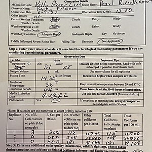
Strong River Gage at D'Lo Water Park downstream was 3.08 ft. Streamflow was 104 cfs.
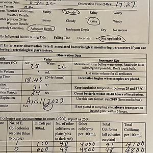
Strong River muddy, heavy siltation. Strong River gauge downstream at DLo 5.28 feet.


