Summit Lake Headwaters (McVeigh Creek & Windsor Creek)
Ontario, Canada
SLI = Summit Lake Intake
MCV&W = McVeigh Creek and Wyndsor Creek
This location made the most sense in determining the downflow effects of the iron mines, and this is the first body of water that receives the iron deposits from historical iron mining activities. This location is the sum of contaminated flow coming from both MCveigh Creek and the Wyndsor Creek, both streams delivering water from unique locations surrounding the historical iron mining activities.
This is a prime location for continuous monitoring for effects up stream.
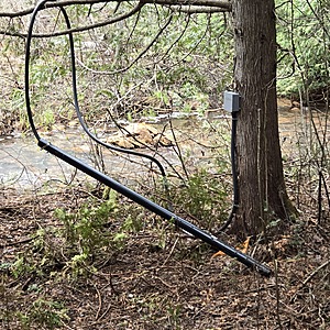
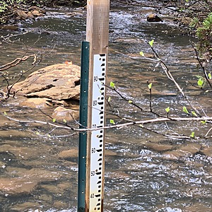
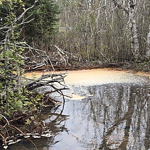
I found a hydrometric station used by the mine at my sample location on the northside of the train tracks. Water here is flowing fast. There is plenty of iron staining in the creek.

- Group: Missanabie Cree First Nation : Dog Lake Head Waters Monitoring Program
- Site ID: SLI - MCV&W
- Lat: 48.2661808
- Lng: -84.5301819
- Waterbody Type: Creek
- Timezone: America/Toronto


