
Wyndsor Lake/Nicho Lake CREEK
Ontario, Canada
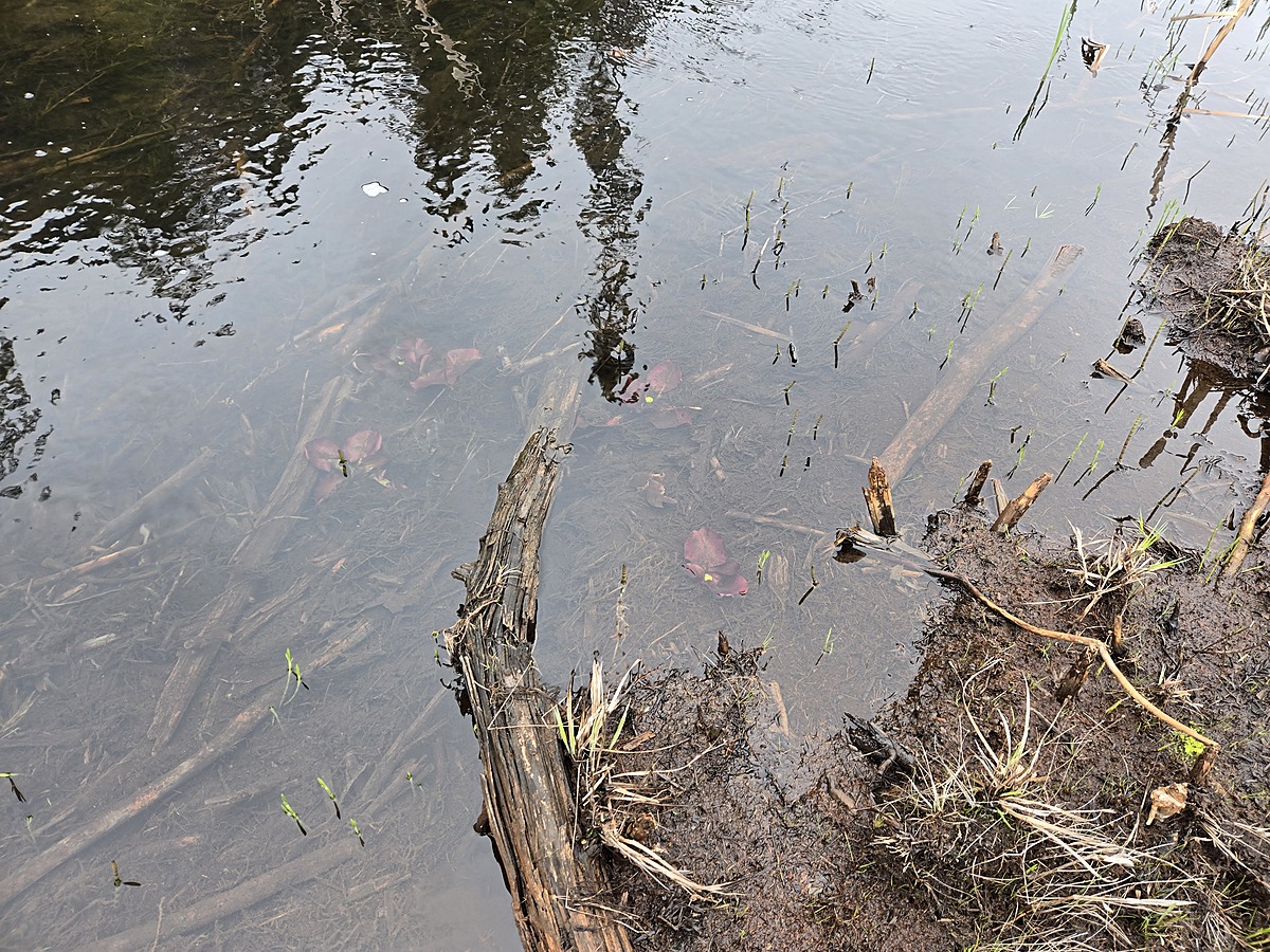
WLC-BD = Wyndsor Lake Creek Beaver Dam
This location aims to collect data on the water that flows from contaminated areas in an effort to determine the dilution and distance of impact.
The path is marked on the right side of the road with 2 purple flags, and the remainder of the trail is marked with orange flags. the path is not cut to the water source and you still have to hike over some wetland to get to the small beaver dam on this creek.

Location created by
Ty Hourtovenko
- Group: Missanabie Cree First Nation : Dog Lake Head Waters Monitoring Program
- Site ID: WLC-BD
- Lat: 48.2651088
- Lng: -84.5028663
- Waterbody Type: Creek
- Timezone: America/Toronto
Latest photos


Observations summary
Observation tests summary
Air temperature
°C
8.0
Latest
8.0
Average
Water temperature
°C
10.0
Latest
10.0
Average
Alkalinity
mg/L
75
Latest
75
Average
Hardness
mg/L
0
Latest
0
Average
Dissolved oxygen
mg/L
11.0
Latest
11.0
Average
Chlorine
ppm
0.0
Latest
0.0
Average
Conductivity
μS/cm
250
Latest
250
Average
Secchi depth
m
0.0
Latest
0.0
Average
Water depth
m
0.3
Latest
0.3
Average
pH (0-14)
7.2
Latest
7.2
Average