
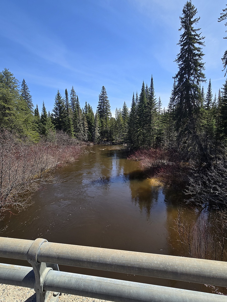
Ogasiwi Creek @ HWY 651
Hawk Junction, Ontario, Canada
Conveniently accessible along HWY 651. Culvert beneath HWY 651. Creek Flows South, and eventually travels to Shikwamka Lake, the headwaters of the Windermere River. This location is an addition to the HWY 651 Water Bodies to be included in our regional expansion for surface water monitoring.

Location created by
Ty Hourtovenko
- Group: Missanabie Cree First Nation : Dog Lake Head Waters Monitoring Program
- Site ID: OC-651
- Lat: 48.1605143
- Lng: -84.0466976
- Waterbody Type: Creek
- Timezone: America/Toronto
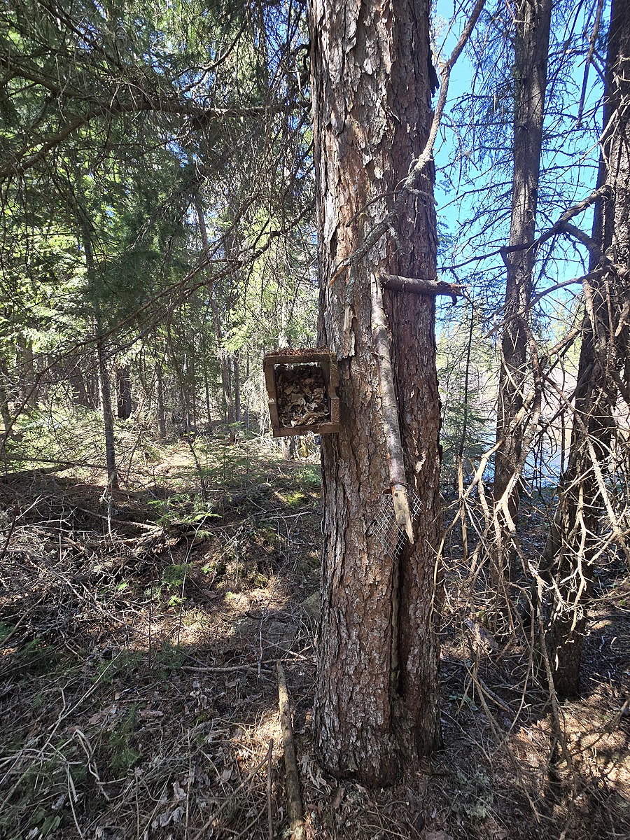
Latest photos

Observation tests summary
Air temperature
°C
27.0
Latest
25.0
Average
Water temperature
°C
17.8
Latest
11.7
Average
Alkalinity
mg/L
70
Latest
57
Average
Hardness
mg/L
0
Latest
0
Average
Dissolved oxygen
mg/L
8.5
Latest
9.2
Average
Chlorine
ppm
0.0
Latest
0.0
Average
Conductivity
μS/cm
27
Latest
41
Average
Secchi depth
m
0.0
Latest
0.0
Average
pH (0-14)
7.0
Latest
7.0
Average
Water depth
m
0.3
Latest
0.3
Average