Goldie River @ HWY 651
Hawk Junction, Ontario, Canada
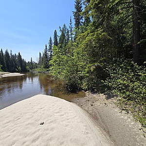
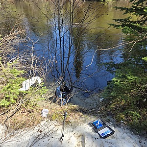
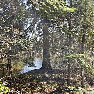
Goldie River runs south from Forty Four Lake to the east, and funnels southwest to Shikwamkwa Lake, and continues south down the Windermere River. The water level is higher in the spring and flows swiftly. This river has a sandy bottom and its shoreline is consumed with boreal forest features tight to the shore.

Location created by
Ty Hourtovenko
- Group: Missanabie Cree First Nation : Dog Lake Head Waters Monitoring Program
- Site ID: GR-651
- Lat: 48.1339575
- Lng: -84.0479422
- Waterbody Type: River
- Timezone: America/Toronto
Latest photos
View all photosObservation tests summary
Air temperature
°C
27.0
Latest
24.0
Average
Water temperature
°C
17.8
Latest
12.9
Average
Alkalinity
mg/L
45
Latest
45
Average
Hardness
mg/L
0
Latest
0
Average
Dissolved oxygen
mg/L
9.0
Latest
9.7
Average
Chlorine
ppm
0.0
Latest
0.0
Average
Conductivity
μS/cm
55
Latest
44
Average
Secchi depth
m
0.0
Latest
0.0
Average
Water depth
m
0.3
Latest
0.3
Average
pH (0-14)
7.5
Latest
7.2
Average


