River Loddon
Basingstoke, Hampshire, United Kingdom
Grid ref: SU 66133 52930
W3w: ///worked.vivid.tester
Nearest emergency access point: Bartons Mill, Bartons Ln, Old Basing, Basingstoke RG24 8AE

- Group: Loddon Catchment Partnership : Loddon Under the Microscope
- Lat: 51.2716943
- Lng: -1.0533357
- Waterbody Type: River
- Timezone: Europe/London
Latest photos
View all photosamount of weed seems to have reduced since last month
water fowing slowly
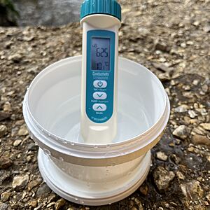
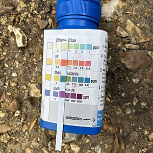
Depth 1cm above bottom step. Considerable dog dipping adding to already extensive erosion of the bank. It was a bank holiday and it was difficult to get water sample without churn from swimming dogs.
Water depth 1.5cm above bottom step.
Clear water, steady flow. Water level just covering lowest dog dipping step by 1cm.


