Bowker Creek
Victoria, British Columbia, Canada
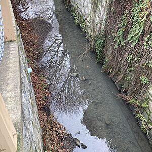
first emergence of the creek from the culvert under the Fort /Cadboro Bay / Foul Bay roads intersection

Location created by
Eldan Goldenberg
- Lat: 48.4322169
- Lng: -123.321573
- Waterbody Type: Creek
- Timezone: UTC
Latest photos
Bowker Creek : Cadboro Bay Road
Observed on
2024-12-04
grey turbidity, intensity varying noticeably over about 10 minutes.
