Salmon River
Ontario, Canada
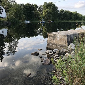
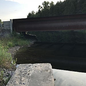
The water depth was measured from the middle of the downstream side of the new bridge across the river (at the 6th rib in the steel). The water was sampled by the old bridge abutment on the east bank north of the new bridge.

Location created by
Barry Campbell
- Group: Water Rangers : Testers
- Site ID: BNC 004
- Lat: 44.5176844
- Lng: -77.0136023
- Waterbody Type: River
- Timezone: America/Toronto
Latest photos
View all photosThere are currently no issues at this location.

