River beside CBU
Sydney, Nova Scotia, Canada

- Group: ACAP Cape Breton : Citizen Science Water Monitoring in Unama'ki-Cape Breton
- Lat: 46.1711141
- Lng: -60.0898492
- Waterbody Type: River
- Timezone: America/Glace_Bay
Latest photos
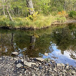
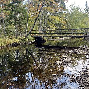
View all photosWater levels much lower than normal. Flow of the stream more gentle and slow with the usual amount of liter around the rocks.
Fast flow of water, low levels
Fast and high water levels
Brook mostly covered by snow. Varying depth.
Water moving fast. Depth distribution altered since last month.
Very high water levels, fast flowing stream
Leaf fall present. Warmer today than previous days.
Water depth greater in pools compared to the faster flowing sections where sample was collected.
Lots of vegetation here. Broken glass and other litter spotted on the rock bed where water level was low and dried up.


