
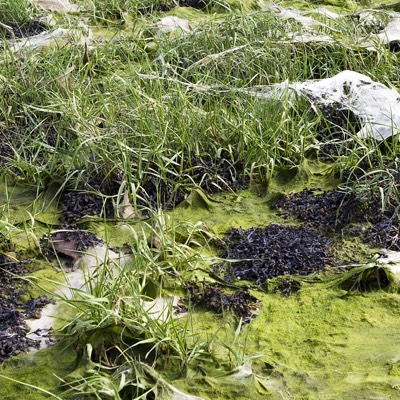
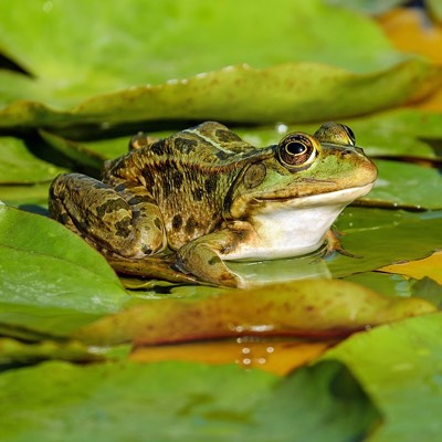
Stream
Sydney, Nova Scotia, Canada
The location of this body of water is between Chappells Ct. and Union Street at the end of an ally way.

Location created by
Allison Manship
- Lat: 46.1335307
- Lng: -60.1860023
- Waterbody Type: Stream
- Timezone: America/Glace_Bay
Latest photos


Observations summary

Observation tests summary
Air temperature
°C
4.7
Latest
16.7
Average
Water temperature
°C
7.0
Latest
16.6
Average
Alkalinity
mg/L
120
Latest
144
Average
Hardness
mg/L
200
Latest
140
Average
Chlorine
ppm
0.0
Latest
0.3
Average
Secchi depth
m
0.0
Latest
0.0
Average
Water depth
m
0.3
Latest
0.3
Average
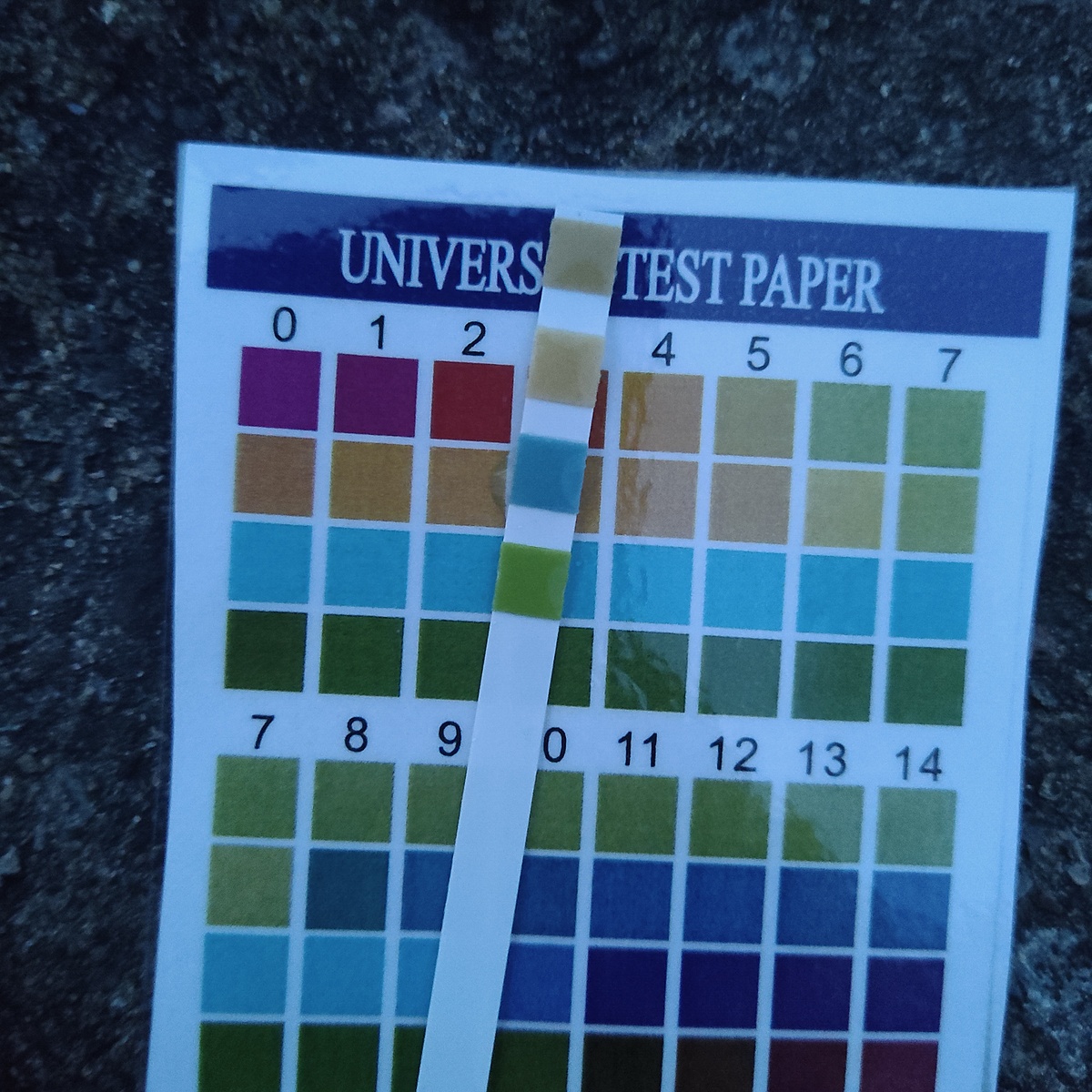
pH (0-14)
5.0
Latest
6.0
Average