Wash Brook tributary
Sydney, Nova Scotia, Canada
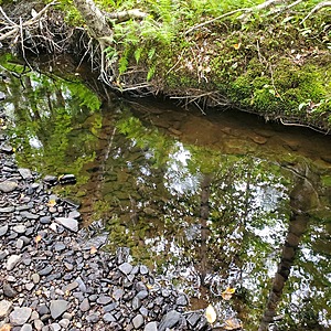
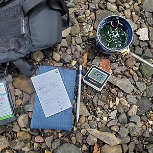
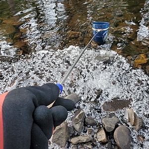
This area is beside the trail, about 100m downstream from the tree nursery frames and berm.
Water is moving and the level here ranges from 1' to 2' deep, depending on precipitation.

Location created by
Maggie Black
- Group: ACAP Cape Breton : Citizen Science Water Monitoring in Unama'ki-Cape Breton
- Lat: 46.1249398
- Lng: -60.1605941
- Waterbody Type: Stream
- Timezone: America/Glace_Bay
Latest photos
View all photosWash Brook tributary : Baille Ard Trail, second loop
Observed on
2024-12-28
Wash Brook tributary : Baille Ard Trail, second loop
Observed on
2024-12-02
Wash Brook tributary : Baille Ard Trail, second loop
Observed on
2024-10-30
Wash Brook tributary : Baille Ard Trail, second loop
Observed on
2024-09-30
Wash Brook tributary : Baille Ard Trail, second loop
Observed on
2024-08-28
Wash Brook tributary : Baille Ard Trail, second loop
Observed on
2024-07-28
Water level is very low. Almost no current.


