Stormwater pipe discharge and Mission Ck - MIS-W-01 Medium Priority
North Vancouver, British Columbia, Canada
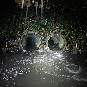
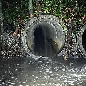
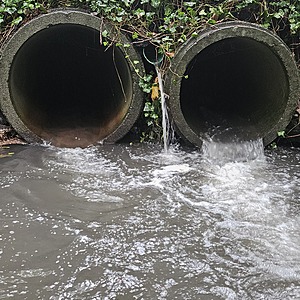
location of MIS-W-01 using zoom on web app. South side of 23rd St. Two large storm drains emerge side by side with a smaller one of 0.2m inside diameter in between (do not monitor the small one). This is the western one which is 1.05m in diameter of concrete. Moderate energy location combining Mission Creek with storm drains from Highway #1. Field measured GPS coordinates in NAD83 are -123.0863967, 49.33019138 in Long and Lat, or UTM 495,730E, 5,464,169N Old Salt project site is the flow from W-01 and W-02 combined

- Site ID: MIS-W-01
- Lat: 49.3301285
- Lng: -123.0862498
- Waterbody Type: Unknown
- Timezone: America/Vancouver
Latest photos
View all photosBV lab water and ALS Global 6PPD and 6PPD-Q samples collected simultaneously with WR data
Turbidity <14 (hard to see as getting dark)
Turbidity <14. Lab water sample for BV collected simultaneously, but lab water is combined MIS-E+W-01
Turbid water, but in darkness the Secchi Tube could not be used. 6PPD-Q and lab water sample for BV collected simultaneously
Turbidity <14. Lab water sample for BV collected simultaneously, but lab water is combined MIS-E+W-01
Turb < 14
Flows: 9L/ 1.81s
10L/1.95s
10 L / 1.70s
Unable to read turbidity; high. Water appeared black with faint smell of sewage.
In-situ (Water Rangers) measurements taken separately from E and W outfalls.
Lab water samples collected from stormwater pool (combined flow) for analysis at Bureau Veritas and 6PPD-Q samples also collected from pool for UBC to analyze.
<14
Turbidity <14
Turbidity <14
Ysi simultaneous reading


