Stormwater drain south of 23rd St and west of Chesterfield - WAG-E-07 High Priority
North Vancouver, British Columbia, Canada
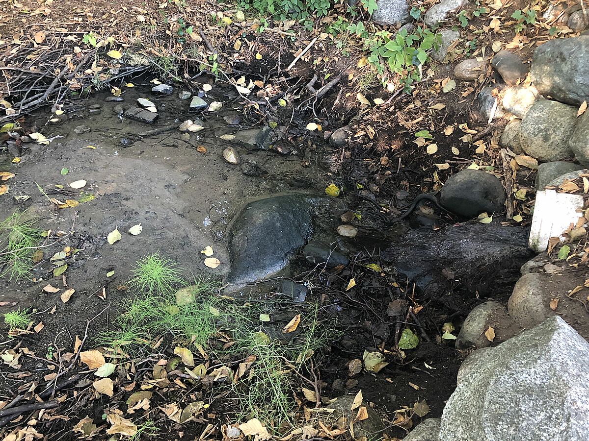
location of WAG-E-07 using zoom on web app. West of Chesterfield and south of 23rd St. a storm drain emerges and then joins the west branch of Wagg Creek from the east. Here a white plastic storm pipe of 0.21m inside diameter comes in from the east about 15m east of the creek. Low energy location. Field measured GPS coordinates in NAD83 are -123.0757406, 49.32946420 in Long and Lat, or UTM 494,497E, 5,464,085N . MISMATCH with CNVGIS mapping which has a 915 CONC Storm pipe here.

Location created by
Paul Lhotka
- Site ID: WAG-E-07
- Lat: 49.3293594
- Lng: -123.0755853
- Waterbody Type: Unknown
- Timezone: America/Vancouver
Latest photos


Turbidity < 14 NTU.
Turbidity <14. Very hard water
Turb <14
Flows: 5L/ 3.63 s
5L/4.03sec
6L/4.13s
Turbidity high, water was discolored, but unable to take a reading in turbidity tube.
Lab water sample collected for analysis by Bureau Veritas.
Turbidity <14
Turbidity <14
YSI measurements taken simultaneously
Water flow
1. 11 l in 1.53 sec
2. 11 l in 1.53 sec
3. 10 l in 1.34 sec
YSI measurements done simultaneously.
No foam observed.
Water had a grayish coloration.
YSI measurements taken simultaneously.
Water had brownish cast, small amount of foam in pool.
Flow taken with bucket method:
1. 10L @4.15 s
2. 10L @3.91 s
3. 9.5 L @3.8 s
Bucket method used for flow.
Flow
Attempt 1: 13@3.57sec
Attempt 2: 13l@3.41sec
Attempt 3: 10l@2.19sec
Flow volume appeared to increase during sampling session.