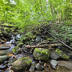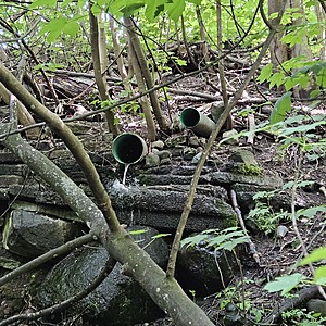
Stormwater pipe discharge south of footbridge crossing Wagg Ck - WAG-E-06b Low Priority
North Vancouver, British Columbia, Canada
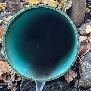
location of WAG-E-06b using zoom on web app. A few meters south of the pedestrian bridge on 21st St west and west Chesterfield Ave. two storm drains join the west branch of Wagg Creek from the east. There are two green plastic pipes here - do not monitor the smaller one of 0.2m inside diameter. Monitor the green plastic storm pipe of 0.29m inside diameter comes in from the east side about 2 meter in elevation above the creek. Field measured GPS coordinates in NAD83 are -123.0763880, 49.32833197 in Long and Lat, or UTM 494,450E, 5,463,958N

- Site ID: WAG-E-06b
- Lat: 49.3282445
- Lng: -123.0762979
- Waterbody Type: Unknown
- Timezone: America/Vancouver
Latest photos
View all photosStormwater pipe discharge south of footbridge crossing Wagg Ck - WAG-E-06b Low Priority : WAG-E-06b
Observed on
2024-11-28
Turbidity <14
Stormwater pipe discharge south of footbridge crossing Wagg Ck - WAG-E-06b Low Priority : WAG-E-06b
Observed on
2024-08-30
Wetted width 6cm. Wetted depth 3mm. Pipe inclination 12°. 7.5 liters in 39.44 sec. = 0.19 l/s...


