East Branch of Wagg Creek emerges from culvert WAG-E-06a High Priority
North Vancouver, British Columbia, Canada
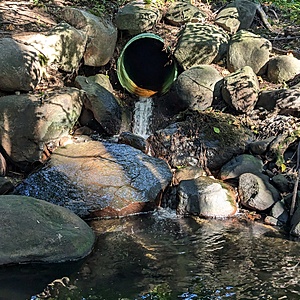
location of WAG-E-06a using zoom on web app. A green plastic storm pipe of 0.72m inside diameter surfaces the east branch of Wagg Creek. It is the creek. This is a high energy, high flow site. Field measured GPS coordinates in NAD83 are -123.0759570, 49.32744605 in Long and Lat, or UTM 494,481E, 5,463,860N
this site was active under the "Salt Project" and called 20th St Outfall

- Site ID: WAG-E-06a
- Lat: 49.3281288
- Lng: -123.0763364
- Waterbody Type: Unknown
- Timezone: America/Vancouver
Latest photos
View all photosroots have grown back making bucket flow impossible. Need to cut them out again to get bucket in position; Turbidity <14
BV lab water and ALS Global 6PPD and 6PPD-Q samples collected simultaneously with WR data
Tier 1 and Tier 2 lab samples taken for BV.
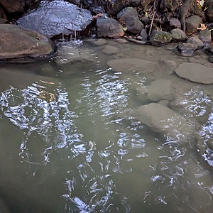
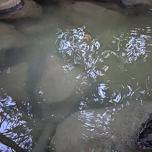
Rain was stopping, runoff still trickling into storm drain on chesterfield Ave. Turbidity taken at bottom of storm outfall. High water turbulence may have resulted in <14 NTU reading, but some turbidity was observed in the plunge pool.
Turbidity <14. Lab water sample for BV collected simultaneously.
Turbid water, but in darkness the Secchi Tube could not be used. 6PPD-Q and lab water sample for BV collected simultaneously
Turbidity <14
Turb <14
Flows (prob captured 50%}: corrugated pipe
12L/2.16s
12L/ 2.44s
10L/ 2.06 s
Some turbidity observed but unable to take measurement.
Lab water samples collected for analysis at Bureau Veritas.
6PPD-Q sample collected for analysis at UBC.
Turbidity <14
Turbidity <14.
Tested due to dark blackish water reported downstream by Paul at 10:20 that seemed to potentially ahve come from E06A. Water appeared normal at this location at 10:30, little to no foaming, low turbidity, unremarkable test results, no smell noted


