Stormwater pipe discharge
North Vancouver, British Columbia, Canada
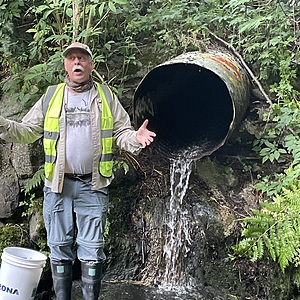
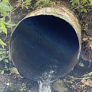
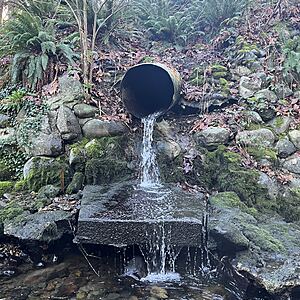
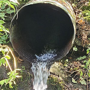
location of WAG-E-01 using zoom on web app. This is where a metal corrugated storm pipe of 0.8m inside diameter surfaces and flows into Wagg Creek from the east side, just above the start of the box culvert that carries Wagg under Keith Road. Water falls onto a meter square concrete pad and then flows into the creek. Field measured GPS coordinates in NAD83 are -123.0892774, 49.32031152 in Long and Lat, or UTM 493502E, 5463071N

Location created by
Paul Lhotka
- Site ID: WAG-E-01
- Lat: 49.3201709
- Lng: -123.0898118
- Waterbody Type: Unknown
- Timezone: America/Vancouver
Latest photos
View all photosObservation tests summary
Water temperature
°C
18.1
Latest
14.7
Average
Alkalinity
mg/L
60
Latest
41
Average
Hardness
mg/L
150
Latest
65
Average
Conductivity
μS/cm
679
Latest
349
Average
Turbidity
NTU
14.0
Latest
17.8
Average
pH (0-14)
7.6
Latest
7.2
Average
Water flow
l/sec
0.7
Latest
1.1
Average
Air temperature
°C
16.0
Latest
12.4
Average
Dissolved oxygen
mg/L
9.0
Latest
7.8
Average
Chlorine
ppm
0.0
Latest
0.0
Average


