River Lea
London, Hackney, United Kingdom
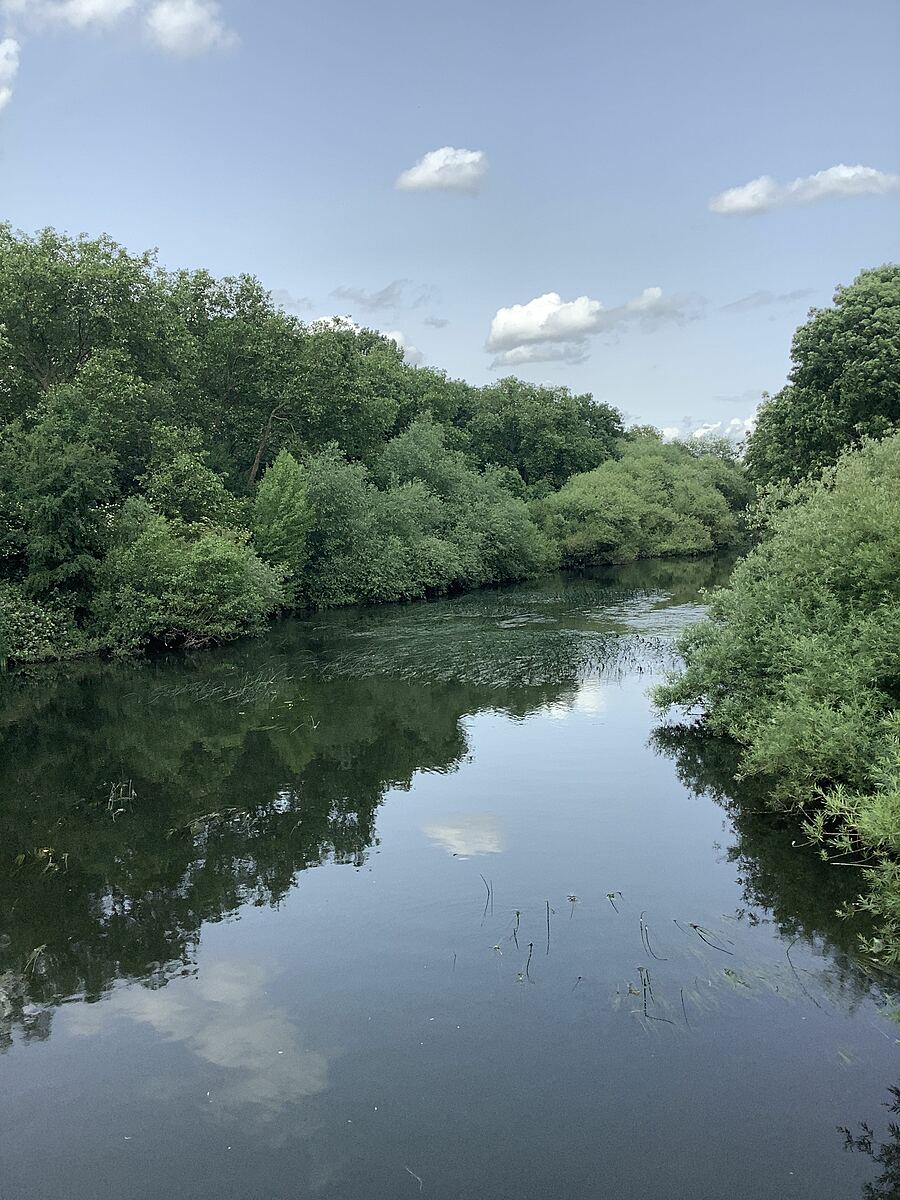
The River Lea flows from the countryside of Hertfordshire to Bow Locks in East London, dissecting North and East London. It suffers from a number of pollution streams including raw sewage from misconnected plumbing and diffuse pollution from roads and agriculture higher up in the catchment. In its lower urban section where it has been canalised, options for naturalising the channel are limited.
Sampling happens from the White House Bridge.

Location created by
Philly Nicholls
- Group: Thames21 : Lea Guardians
- Site ID: GB106038077852_WHB
- Lat: 51.55484
- Lng: -0.025711
- Waterbody Type: River
- Timezone: Europe/London
Latest photos


River Lea : The White House Bridge (Old River Lea)
Observed on
2025-09-14
I’m not sure about the phosphate result as the Checker was playing up.
River Lea : The White House Bridge (Old River Lea)
Observed on
2025-08-02
River Lea : The White House Bridge (Old River Lea)
Observed on
2025-07-05
River Lea : The White House Bridge (Old River Lea)
Observed on
2025-04-05
The water is low, but moving fast and clear enough to see the river bed. Turbidity below 12 but t...
River Lea : The White House Bridge (Old River Lea)
Observed on
2025-03-01
River Lea : The White House Bridge (Old River Lea)
Observed on
2024-12-01
River Lea : The White House Bridge (Old River Lea)
Observed on
2024-11-03
Slight oily sheen on the surface, otherwise clear and fairly fast moving. Mallards swimming.
River Lea : The White House Bridge (Old River Lea)
Observed on
2024-10-05
Water clear, fast flowing. Several dragonflies seen.