
Gananoque River
Ontario, Canada
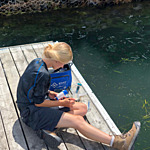
Small water access area off a dead-end (turnaround) road. Natural shoreline along the turbid river. The water is low flowing and the shore drops off fast and becomes deep. There is a gravelly-sandy bottom, which becomes soft as the water gets deeper.
Location created by
Emma Ehrenfeld
- Group: River Institute : Upper St. Lawrence River Volunteer Monitoring
- Lat: 44.361381
- Lng: -76.1899495
- Waterbody Type: River
- Timezone: America/Toronto
Latest photos
There are currently no issues at this location.