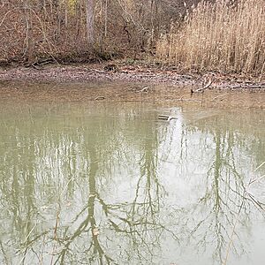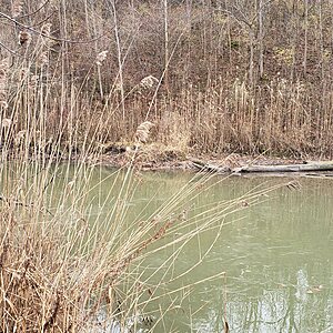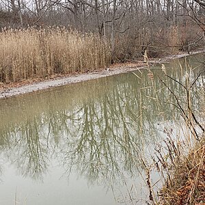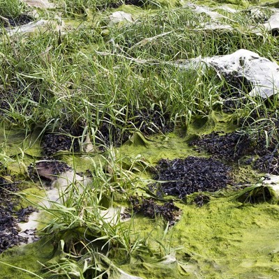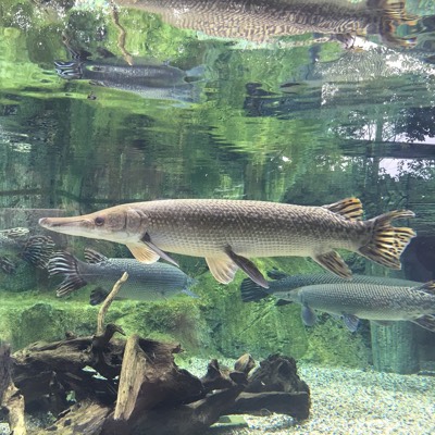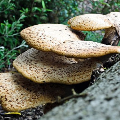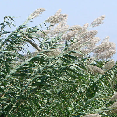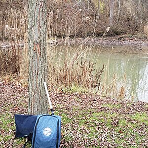
Creek ? to right of Clearville boat ramp Lake Erie( directly behind pavillion in the centre walk straight to tree at creek)
Ontario, Canada
This is the creek runs from inland to Lake Erie .Follow Clearville camp sign from HWY 3 down road pass campground on left and park besides the pavillion on your right . We located from back of pavillion centre point and walked straight across to the tree on the creek edge. Our testing was done directly in line with tree from shore(its to steep otherwise).You can see the creek where it breach's the sandy beach and enters Lake Erie. It was not breaching today , maybe an 8 ft sand across

Location created by
Rick Sowinski Maggie Jones
- Group: Water Rangers and Freshwater Alliance : Lake Erie Guardians
- Site ID: 2
- Lat: 42.4523876
- Lng: -81.6993141
- Waterbody Type: Creek
- Timezone: America/Toronto
Latest photos
View all photosObservations summary
Observation tests summary
Air temperature
°C
30.0
Latest
14.5
Average
Water temperature
°C
26.5
Latest
16.4
Average
Alkalinity
mg/L
120
Latest
121
Average
Hardness
mg/L
200
Latest
191
Average
Dissolved oxygen
mg/L
8.0
Latest
7.3
Average
Chlorine
ppm
0.0
Latest
0.0
Average
Conductivity
μS/cm
586
Latest
596
Average
pH (0-14)
8.4
Latest
7.4
Average
Secchi depth
m
0.2
Latest
0.2
Average
Water depth
m
0.9
Latest
0.9
Average
Ice On
Ice Off
- 2023-12-29

